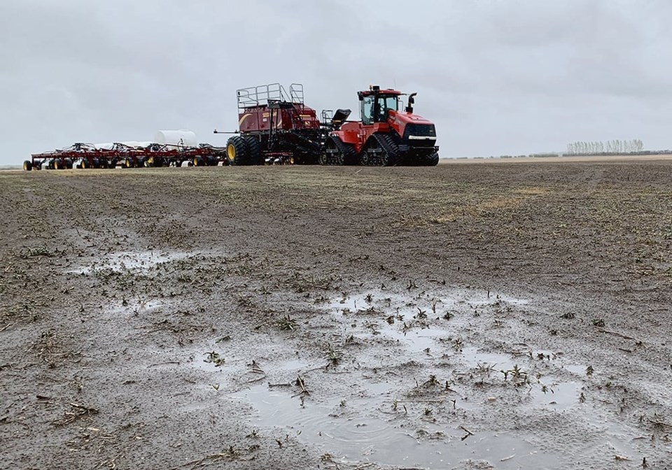
WESTERN PRODUCER – Even though all three Prairie provinces had snow or rain last winter and this spring, moving out of drought conditions is not necessarily a given.
“We’ve seen near normal precipitation throughout most of Saskatchewan and well as southern Alberta and much of Manitoba,” said Trevor Hadwen, agroclimate specialist with Agriculture Canada.
Click the image for a larger version of this map in PDF format.
This precipitation occurred Sept. 1 to May 1.
“The challenge with fall, winter and early spring precipitation is that that’s our dry period of the year. We get less than half of what we would during the summer months, quite often much less than half. Getting near normal precipitation for that period is great, but it’s not making up for the dryness that we had last year,” he said.
The Edmonton region and northern Alberta up to the Peace River region has been incredibly dry.
“We’re seeing precipitation based on the statistical curve of a one-to-500-year event, depending on where we are exactly. It’s not very common to see conditions this dry this early in the spring for that region,” said Hadwen.
“We’re concerned about that area. We’re seeing drier conditions, especially in short term drought situations. That’s going to impact agriculture specifically.”
Winter precipitation in general was a bit misleading this year. It was normal across southern Alberta and most of Saskatchewan and Manitoba, but the precipitation that fell this year had to battle higher than average temperatures.
“We started to see moisture loss throughout the winter in terms of evaporation from the freeze thaw cycles that we saw. We saw a lot of sublimation where the snowpack just turns into a gas without even going through the water cycle,” said Hadwen.
There wasn’t a ton of moisture in the early spring snowpack.
“When it started to warm up, the runoff was very minimal. And the impact of soil moisture was not as great as you would expect from the snow that we saw on the ground or the snow that we received throughout the winter. The winter snowfall wasn’t as effective this year in recharging dugouts or recharging reservoirs. It wasn’t even that effective at recharging soil moisture because of all the freeze thaw that was drying out of the soil during the winter period,” he said.
Click the image for a larger version of this map in PDF format.
In many places, soil was exposed, and the temperature stayed right around that freezing mark.
“When you don’t have that insulating blanket on the soil, we’re losing moisture throughout the winter period. If we have windy days and it’s three degrees out there or even just a little bit less, we’re starting to lose moisture that we did have in the soil through evaporation,” said Hadwen.
Conditions are not great for soil moisture.
However, things are starting to improve.
“What we’re seeing these last couple weeks or last month has been an improvement from previous months,” he said.
“May precipitation is typically double what April precipitation is, so we can start really start accumulating that moisture,” he said.
“That’s going to help farmers, especially people who are seeding into annual crops right now.”
Southern Alberta, Saskatchewan and Manitoba have all seen considerable amounts of precipitation the last couple of weeks. That should give a head start to the crops. However, many of those regions are extremely dry in the subsoil, and don’t have the reserves to withstand long periods without precipitation or with long, hot periods throughout the summer.
These areas are going to need moisture on a timely basis or much more moisture during upcoming weeks and months, he said.


