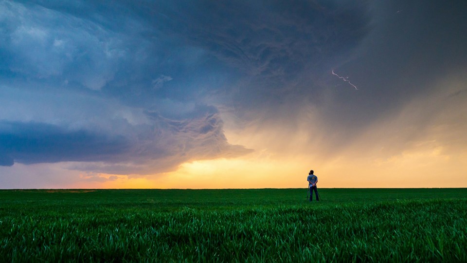
What’s the best way to determine if a storm is capable of producing severe weather?
The first thing is to listen to Environment Canada for watches and warnings. It is the only entity allowed to issue watches and warnings in Canada.
If a watch is issued, it means the potential exists for severe thunderstorms, but they have not yet developed in your area. When you hear there is a watch, you should do exactly that — watch the sky.
If Environment Canada issues a warning, it means a thunderstorm with some or all the characteristics of a severe storm has developed and has been confirmed by eyewitness or radar. This means you should take precautions immediately.
If you are out in the field, you will usually have access to data from Environment Canada and will even be able to check radar. It is also important to simply watch and understand the signals Mother Nature is giving.
First, recognize the conditions. How warm and humid is the air? Remember, a moist atmosphere means there is a lot of energy available. Look for a dark or threatening sky and then look closely at the area between the storm and the ground. If you can see through it, the storm is likely not severe yet.
Lots of lightning or nearly continuous thunder is a good indication of a severe storm. As the storm approaches, watch for a green sky and mammatus clouds (clouds that look like bag-like sacks that hang beneath a cloud). These conditions usually indicate the storm contains huge amounts of water and has very strong up and down drafts.
Finally, watch for any kind of rotation within the storm. This means the storm has become very strong and can produce a tornado.
If you have access to radar, you will be able to see where the storm is and how it is developing. Make sure you look at the last hour to three hours of data by playing the radar loop. This will show the motion of the storm and determine if it is developing or weakening.
Remember, thunderstorms can grow and collapse rapidly. One area on radar could show a very strong storm, and 10 to 20 minutes later, that area has weakened but another area has developed. Radar can be a huge help in determining if a severe storm is moving in your direction, but always be ready even if it looks like it might miss you.
Tornadoes are among the worst of the severe weather phenomenon that can be experienced on the Prairies.
We still don’t know exactly how they develop, mainly because of their size and nature.
The first problem is that tornadoes form in thunderstorms. While we are getting better at predicting where thunderstorms will develop, we are not yet that accurate. Saying a storm will develop in southwestern Manitoba is pretty good, but that is still a large region.
The next issue is size of the storms. Some are small, measuring a few sq. kilometres, while others can be hundreds of sq. kilometres. These large storm systems are usually made up of several individual cells, which are in the 25 sq. km range. So, even if you are right around a severe thunderstorm complex, trying to pinpoint location of the most severe cell will be tough, especially since they are in a constant state of growth and decay.
Most tornadoes are about 75 to 100 metres across, so we really have a needle in a haystack to find.
Finally, trying to research in a severe weather environment is extremely difficult and dangerous, not to mention expensive.
Daniel Bezte is a teacher by profession with a BA in geography, specializing in climatology, from the University of Winnipeg. He operates a computerized weather station near Birds Hill Park, Man. Contact him at [email protected].
Related
About the Author


