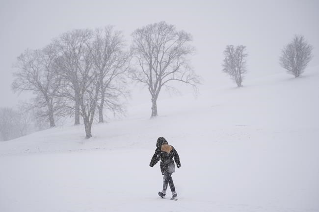
THE WEATHER NETWORK — A winter season that lacked commitment in its early days is likely to finish strong before spring's sluggish arrival, according to predictions from a prominent forecaster.
The Weather Network said a warm jet stream resulted in above-average winter temperatures for most of Canada, but it expects that trend to change in the season's final stretch.
Chief Meteorologist Chris Scott acknowledged the predictions contained in the network's spring outlook probably aren't what most Canadians want to hear.
"There were periods this winter where it was wild and people were throwing the baseball around in early February ... so Canadians might be a bit surprised at the tenaciousness of winter," he said in a phone interview.
"We've got, frankly, more than a month before we can really start to talk about consistent warmth."
But Scott added it's not all bad news, noting spring temperatures are forecast to be warmer than normal when they finally do set in.
And since the winter lacked heavy snowpacks, Scott said areas that typically flood will see less water overflow at the start of spring, and an active storm track that may bring above-normal precipitation across Canada will help delay fire season in the west.
The west coast and the Prairies may also see an extended ski season because of the cool, wet start to the spring, he added.
Some southern parts of Alberta, Saskatchewan and Manitoba "could look and feel wintrier than what we saw during the heart of winter" because of the above-normal precipitation in those regions, Scott said.
The weather outlook predicts similar conditions will persist in Ontario and Quebec. Periods of colder than normal temperatures and messy winter storms are predicted for March and even parts of April.
The prolonged winter trend is expected to hold true for provinces farther east as well, Scott said.
"Some places in eastern Canada may see more winter weather in the next few weeks strung together than we've seen all winter long," he said.
But Scott forecast temperatures will end up "warmer than normal" in Atlantic Canada as the spring season progresses.
Conditions in northern Canada are on tap to be a bit of a mixed bag, Scott said, noting the forecast calls for precipitation levels to be near seasonal norms across the region.
Spring temperatures, however, are expected to be below average in southern Yukon and Northwest Territories, while areas around Baffin Island and parts of Hudson Bay are predicted to see conditions that are warmer than normal.
Scott credits a warm jet stream from the coast of South America for the largely mild winter, noting such conditions are increasingly likely to reoccur.
"We can tell you that the odds of seeing this type of a winter are increasing because there's just more warmth in the global weather pattern," he said.
"There's more opportunity that when it gets warm, it gets really warm. This does feel like a great example of where we are with our climate now versus maybe 40, 50 years ago. It's much harder to get winters that are more consistently cold across Canada."
This report by The Canadian Press was first published March 1, 2023.
Fakiha Baig, The Canadian Press


